Diving spot Ammoniakhavnen
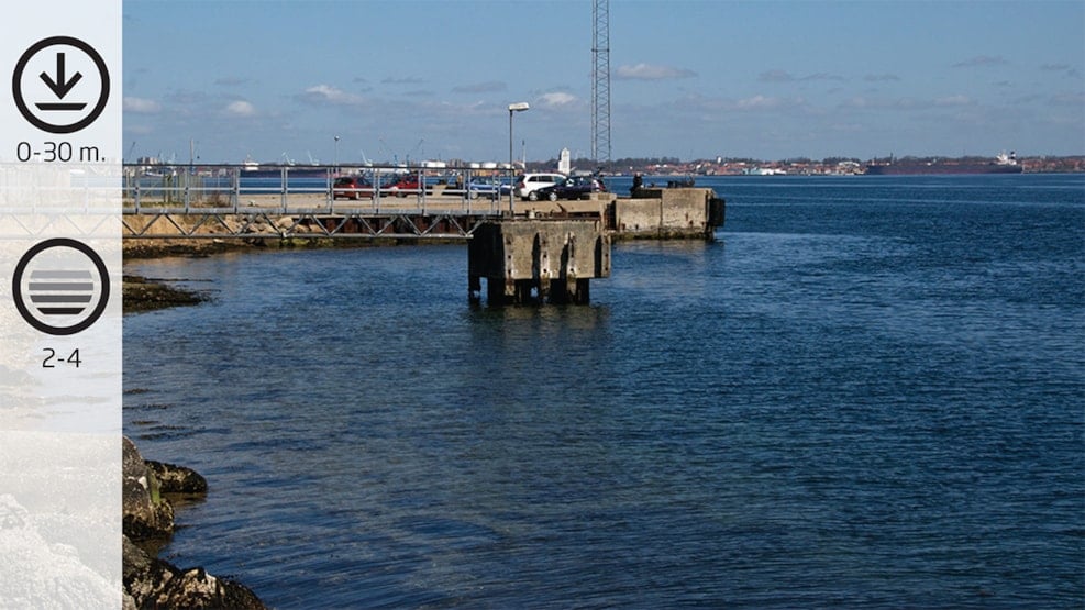
The dive at the old bulwark with lots of sea life under water. It gets fairly deep very quickly. Varied seabed with large flatfish such as flounder and plaice. At the same time you experience brown algae such as sugarkelp and Laminaria hyperborea.
Facts:
How to find: Coming from E20, choose exit 59. Turn left at Snoghøj Landevej and after approx. 500 Meters turn left at Vesterballevej. Then left at Kystvejen and 100 Meters further along the road, turn right at Nyhavevej. You will find Ammoniakhavnen at the end of Nyhavevej.
GeoCoordinates:
Longtitude : 9.7421616335
Latitude : 55.523856140
Google Earth Coordinates:
Latitude: 55°31'26.03"N
Longtitude: 9°44'32.28"Ø
Getting in and up the water: You can enter and get up at both sides of the harbour.
Highlights: The dive along the bulwark.
Air filling station: You can get your airbottle refilled at Hindsgavl Camping in Middelfart (open all year round) during opening times: Hindsgavl Camping. Alternatively the local diving club in Middelfart, Tel.: +45 3311 1323, Dykkerklubben Marsvinet
Best season: All year round
Dangerous areas: Avoid venturing out into the Belt and please mark visibly with A-flags. Sailing close to the coast during all seasons.
Depth: 0-30 M.
Tide: Can be strong
Level of difficulty (1-5): 2-4
Permissions: None
Facilities: Parking space
Photo opportunities: Good opportunity for macro.
Ammoniakhavnen
Ammoniakhavnen is easy to find. The two large tanks formerly filled with ammonia can be seen from the Lillebæltbridge. It was here where ships filled with ammonia unloaded their cargo – hence the name. The harbour is now shut down and the ships do no longer call at the harbour. Today the harbour is visited by anglers and divers alike.
You can park and/or turn your car around at the end of Nyhavevej.
The fence ends at the right of the parking space, and this is where you go down towards the water.
When you reach the water’s edge, there is a bridge which leads to an old anchorage – this is where you enter the water. It becomes deep very quickly. If the tide is northbound, you often find calmer water deeper down. If the tide is southbound, you will be able to have a dive with a fairly weak current.
If you keep at a 100° direction when swimming out into the Belt, the depth quickly reaches 25 Meters. The seabed is very varied all the way down. Closest to the coastline you go past a belt of common eelgrass, which quickly gets replaced by a slope with mixed brown algae and mussel banks.
You can also get close to the old bulwark. The depth is here approx. 12 Meters. And the bottom of the bulwark you will find a long steel net, which is beautifully overgrown. The net was meant to prevent the screws on the ships to remove the seabed material at the end of the bulwark.
Go past the bulwark and head north, where you will find sugarkelp, small slopes and a sandy seabed in a depth of 8 Meters and upwards. Large flatfish such as flounder and plaice are often seen hiding in the sand. When you reach the end of the bulwark, you can end the dive, as you are quite close to land here.
When there is no tide, you can head for a dive at 120°, until you reach a depth of approx. 18 Meters. Then you swim in a large circle at 220° towards the new Lillebæltbridge. During the dive you will see large brown algae, Laminaria hyperborean and sugarkelp in large sizes, which thrive in the nutritious current. In a depth of approx. 16 Meters, you will find a wall which goes up until 12 Meters. Follow the wall toward the landside. When the compass shows 340°, you go until you reach the coastline.