Egebjerg Bakker and Stenstrup Issø
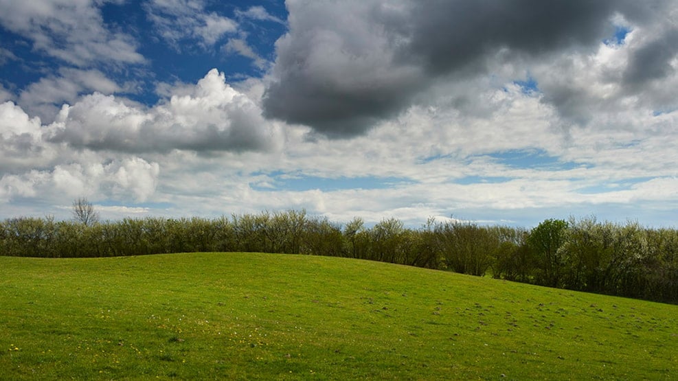
Egebjerg Hills and Stenstrup Ice Lake form a magnificent glacial landscape with terminal moraines, Denmark's second-largest ice lake, dead ice landscapes, a scattering of stones, brickworks industry, and a varied outdoor life.
Visit Egebjerg Hills and Stenstrup Ice Lake
The hills are located approximately 8-10 km northwest of Svendborg. East of the Svendborg motorway, the area is bordered by Højes Dong Hills, with the viewpoint Højbjerg at 112 meters.
There are parking spaces at Egebjerg Mølle and the Danish Nature Agency's area at Bakkelundgård. In Egebjerg Hills, there are marked hiking trails, including a stretch of the Øhavsstien trail. Throughout the area, there are picnic areas, lunchbox houses, a shelter site, and several good viewpoints.
What to experience at Egebjerg Hills and Stenstrup Ice Lake
When visiting Egebjerg Hills, make sure to stop by the old Egebjerg Mill, which today serves as the Egebjerg Mill Nature Center with exhibitions about the area's natural and cultural history. It is open 24/7, year-round. The Nature Center aims to inspire visitors to explore nature on their own. From the top of the mill, you get a fantastic view over the hills.
Close to Egebjerg Mill, you'll also find the protected area of Rødme Svinehaver, which is Fyn's finest meadow. The area has never been cultivated but has been grazed for centuries. This has created a species-rich vegetation with many rare plant species.
Stenstrup Ice Lake is located north of Egebjerg Hills. Since the Middle Ages, the lake has been used for brickworks, as the clay in the lake has a very special composition.
Geological Perspectives at Egebjerg Hills and Stenstrup Ice Lake
Egebjerg Hills are a 5.5 km long, 3 km wide, and up to 110 m high terminal moraine pushed up from a southern direction by the part of the Baltic Sea Ice Stream (18-17,000 years ago) called the 'Little Belt Glacier'. The hills consist of compressed layers of moraine and meltwater deposits along with layers from the Eemian interglacial period (130-115,000 years ago), 'The White Sand' from the Weichselian, as well as inclusions of 60 million year old clay layers from the Paleocene period.
The east-west oriented ridges are clearly visible in the landscape and are experienced as a rollercoaster when driving along Skovmarksvej and Alpevej between Egebjerg and Ollerup. Between some of the ridges, there are small lakes and marshes where peat was previously harvested for fuel.
In Rødme Svinehaver, there is a so-called scattering of stones. These are large stones on the surface of the earth that still lie where the ice left them.
To the east, the north-south oriented terminal moraine of Højes Dong Hills was created by the part of the Baltic Sea Ice Stream called the 'Great Belt Glacier'. When the glacier stopped and turned into dead ice, part of the terminal moraine had a dead ice landscape laid on top of it in the form of large domed hills, including the 112 m high viewpoint Højbjerg.
In the lowland around Stenstrup, large amounts of meltwater were dammed up, creating Stenstrup Ice Lake. The main inlet to the lake was in the southeast corner at Sellebjerg, where a large lake delta of sand and gravel was built up. The finer clay was carried out into the deeper parts of the lake further to the northwest and deposited as thick layers of meltwater clay. The water depth in the ice lake varied between 10 m and 25 m.
As the dead ice melted to the west, the lake spread over a larger area, gradually lowering the water level. Traces of the former lake shores are now seen as low 'cliffs' lying at different heights in the adjacent landscape. Eventually, the meltwater lake was emptied of water through Hørup Å and Hundstrup Å.
Egebjerg Hills and Stenstrup Ice Lake are part of the South Funen Archipelago Geopark
In 2018, Svendborg, Faaborg-Midtfyn, Langeland, and Ærø decided to establish the South Funen Archipelago Geopark with the aim of being designated a UNESCO Global Geopark. The purpose of the geopark is to create and preserve an area for both people and nature.
A UNESCO Global Geopark should bring a region's geology, nature, and cultural history into play and convey a message that humans are part of life on earth. That we are all dependent on the earth's resources, affected by climate change, and responsible for sustainable development.
The South Funen Archipelago Geopark tells the story of a dramatic sea level rise in South Funen and the islands. A sea level rise that shaped a very special nature, which over the last 10,000 years has formed the basis for the area's existence and cultural identity. It is the story of how the landscape and archipelago continue to change and define how we as humans live today. And the South Funen Archipelago Geopark is above all about understanding how, through sustainable development, we can continue to take care of our special geological, biological, and cultural heritage.